

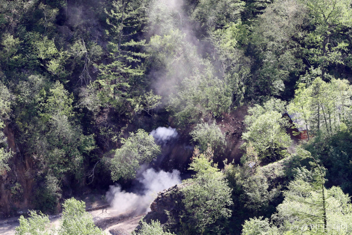
A study has found that the fault lines around Mt. Mantap in Punggye-ri, Kilju County, North Hamgyong Province, where North Korea conducted six nuclear tests, have become reactivated, leading to frequent earthquakes.
The research team led by Kim Kwang-hee of Pusan National University's Department of Geological and Environmental Sciences, along with researchers from Chengdu University of Technology, the Chinese Academy of Sciences, the China Earthquake Administration, and Shandong University, analyzed seismic waves recorded in northeastern Korea and China over a 17-year period from 2008 to May 2025. The findings were published on the 18th in the international academic journal 'Science'.
North Korea conducted a total of six nuclear tests at the underground test site beneath Mt. Mantap in Punggye-ri between 2006 and 2017. To clarify the correlation between nuclear tests and earthquake frequency, the research team tracked large and small seismic events occurring around Mt. Mantap from 2008 onward.
As a result, no earthquakes occurred in the region prior to the first nuclear test in 2006. However, between 2006 and 2017, a total of 60 earthquakes were recorded. The seismic activity began gradually after the third nuclear test in March 2013.
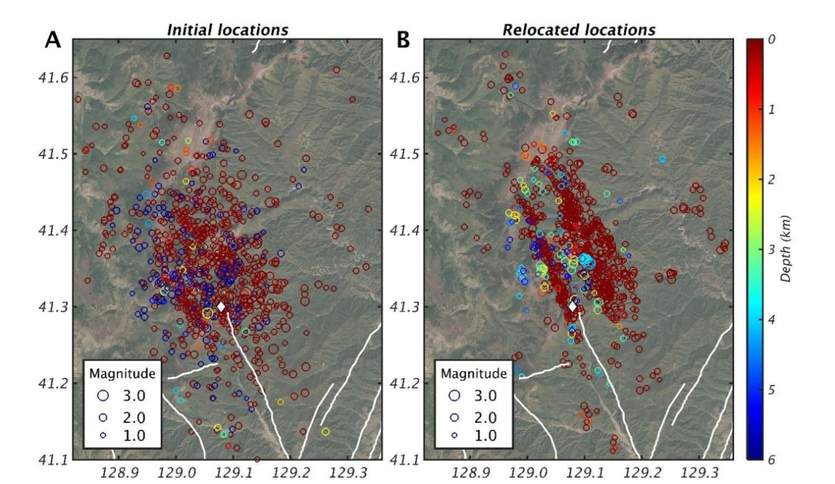
Notably, seismic activity intensified following the sixth nuclear test in 2017. According to the U.S. Geological Survey (USGS), the explosive yield of the sixth test was approximately 100–250 kilotons, equivalent to a magnitude 6.3 earthquake. Within 20 days after the sixth test, a total of 1,330 earthquakes occurred in the area, concentrated along a northwest-southeast fault zone extending 24 kilometers.
Earthquake frequency continued to increase through 2025. The magnitude of quakes rose from 1.0–1.3 initially to as high as magnitude 3 by 2023–2024. Professor Kim warned that if the 24th-kilometer fault zone where earthquakes are concentrated were to reactivate all at once, a major earthquake with a maximum magnitude of 6.4 could occur in this region.
The research team interpreted that repeated nuclear tests accumulated fractures and damage in the shallow crust beneath Mt. Mantap, triggering changes in surrounding areas and gradually reactivating previously dormant fault lines.
Professor Kim emphasized, "To safely and sustainably develop and utilize underground spaces and energy resources, it is essential to thoroughly evaluate geological structures and stress states of faults before development begins, and to continue seismic monitoring and safety assessments even after operations cease."

 in TECH

